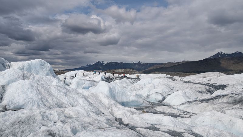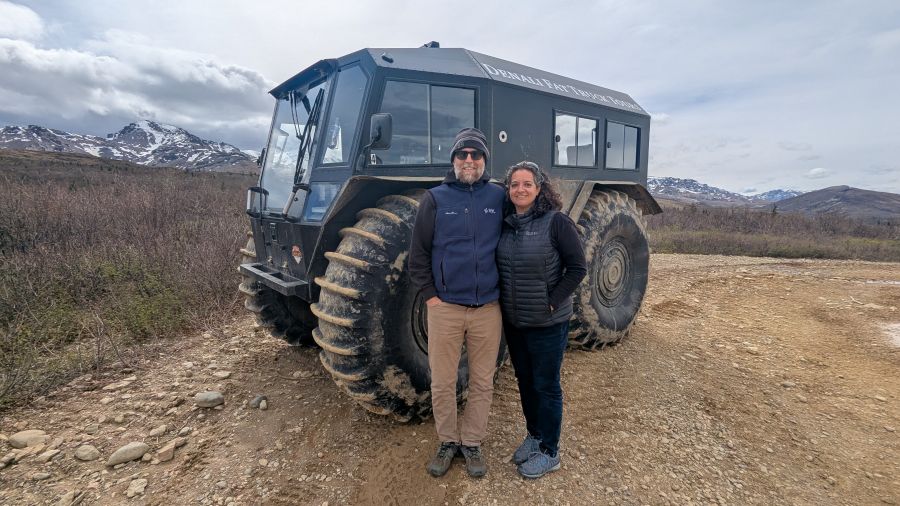
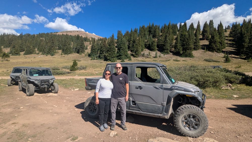
We had fun (but a little scary) UTV tour in Arizona a while back, but it was an experience that stayed on my mind. When I saw there was a Leadville UTV tour available, I knew off-roading/backroads deserved a second chance. The Leadville route was billed as family-friendly, so I was confident it would be more relaxing, with incredible high-country scenery to match. On our last morning in town, we spent two hours climbing toward the summit of Mosquito Pass—equal parts scenic mountain drive, living mining history lesson, and back-road adventure.
Booking the Tour
We booked our tour through Leadville ATV Tours, and it was easily one of the smoothest logistics of the whole trip. We were the first group to check in that morning, which meant we ended up right behind our guide’s own vehicle — first car in the line, effectively front-row for everything he pointed out along the way.
Our guide, Carson, was fantastic: knowledgeable, easygoing, and clearly comfortable both driving these routes and talking to a group of strangers about them for hours at a time. Each vehicle in the caravan gets a walkie-talkie, allowing Carson to call out points of interest — a mine here, a former town site there —in real-time as we rolled along, rather than saving all the context for the turnout stops.
We had about six other vehicles in our group that morning, which felt like a good size: enough people to make it feel like a proper group excursion, but not so many that the caravan became a slow-moving traffic jam on narrow sections of trail.
I let Justin drive the entire time. I always try to balance activities we’ll both love, and I knew he’d genuinely enjoy taking the wheel for this one. We mounted a GoPro inside before setting off to capture the ride—though that came with its own set of surprises! You’ll read more about that in a bit.
The Route: Pavement to Dirt to Rock
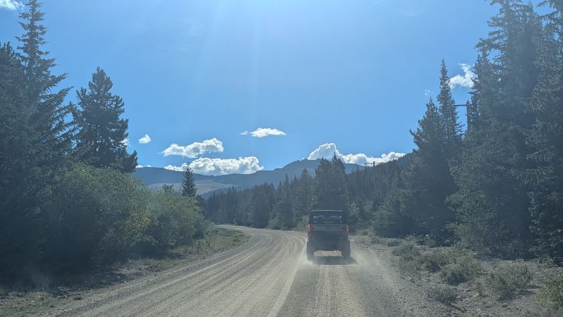
The tour starts out mellow, rolling out of Leadville on pavement before transitioning onto smooth, wide dirt roads. In fact, for the first stretch of the drive, the roads are completely passable in a standard passenger car. Most regular vehicles can handle the initial climb past the lower mining district without any trouble.
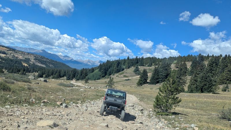
It isn’t until you make the distinct turn onto the Mosquito Pass trail proper that terrain considerations change dramatically—at that point, higher clearance and 4WD become absolute necessities. As the road escalates, you move from simple dirt into rough, loose rock stretches. Here, we dropped the UTV into low-range gearing to keep our climb controlled and steady.
Throughout the entire route, safety and preservation are key: speed is capped at 15 MPH, which keeps the ride safe on exposed edges and lets you absorb the scenery without bouncing out of your seat.
This gradual ramp-up is what makes a guided tour so appealing if you don’t own a high-clearance 4×4. You get to experience rugged terrain that would otherwise be off-limits, with a seasoned guide who knows every twist, turn, and rock on the mountain leading the way.
Mining History Up Close
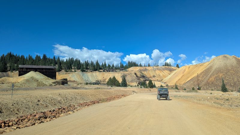
Along the climb, the trail weaves directly past the weathered remnants of Leadville’s 1870s and 1880s silver boom. Rather than viewing artifacts behind glass, you’re driving right through an outdoor museum of Colorado’s industrial past.
During our ascent, Carson pointed out several legendary operations lining the gulch. Seeing these structure frames weathering under the alpine sky added incredible context to what we’d already learned at the Leadville Heritage Museum and the National Mining Hall of Fame and Museum earlier in our trip. Read about our 2 1/2 days in Leadville here.
The Climb Toward Mosquito Pass
The high point of the tour—literally—comes as you gain serious elevation toward Mosquito Pass. Starting out in Leadville at roughly 10,152 feet, the trail climbs continuously, pushing past 10,700 feet and eventually gaining nearly 3,000 feet of vertical elevation as it approaches the summit area at 13,185 feet.
Spanning the border between Lake and Park counties, Mosquito Pass holds the title of the highest continuously drivable mountain pass in the contiguous United States, connecting Leadville to the town of Alma across the Mosquito Range.
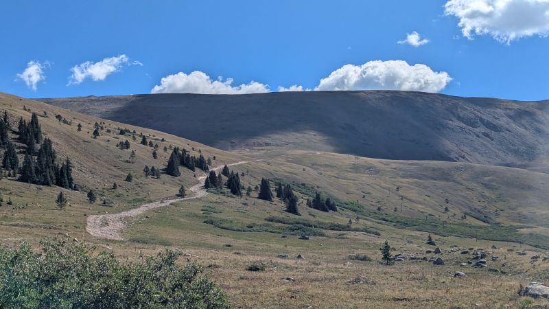
The pass’s nickname isn’t exactly flattering — locals have called it “the highway of the frozen death,” a reference to the treacherous ice and snow patches that can linger on the road even in the height of summer, along with the narrow ledges and steep drop-offs that make it a genuinely serious drive. The road is unpaved for its entire length, only about 18 miles total connecting the two towns, and gains close to 3,000 feet of elevation on either approach. It also happens to sit on the divide between the Arkansas and South Platte river drainages — meaning a raindrop landing exactly at the summit could, in theory, end up in two entirely different river systems on either side of the Continental Divide’s eastern shoulder.
Doing this on a guided tour, in a vehicle built and maintained specifically for this kind of terrain, felt like exactly the right way to experience it. It genuinely got me thinking, though — this is absolutely a route I’d want to tackle again someday in our own vehicle, ideally a Jeep, and without a tour schedule to keep. Just not without a lot more research and preparation first; even seasoned off-road drivers describe sections of this pass as demanding real attention.
The Landscape Along the Way
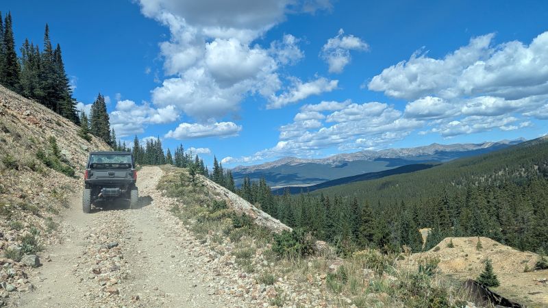
The scenery shifts dramatically as you climb. Down near Leadville, you’re moving through classic Rocky Mountain subalpine forest — dense stands of lodgepole pine mixed with Engelmann spruce and subalpine fir, the workhorse trees of Colorado’s high country. As the elevation climbs and the road gets rockier, the trees start to thin out and shrink, giving way to the gnarled, wind-stunted growth known as krummholz that marks the approach to treeline. Above that, it’s rock, tundra grasses, and wildflowers clinging to a landscape that looks almost lunar in places — a stark contrast to the thick forest just a couple thousand feet below.
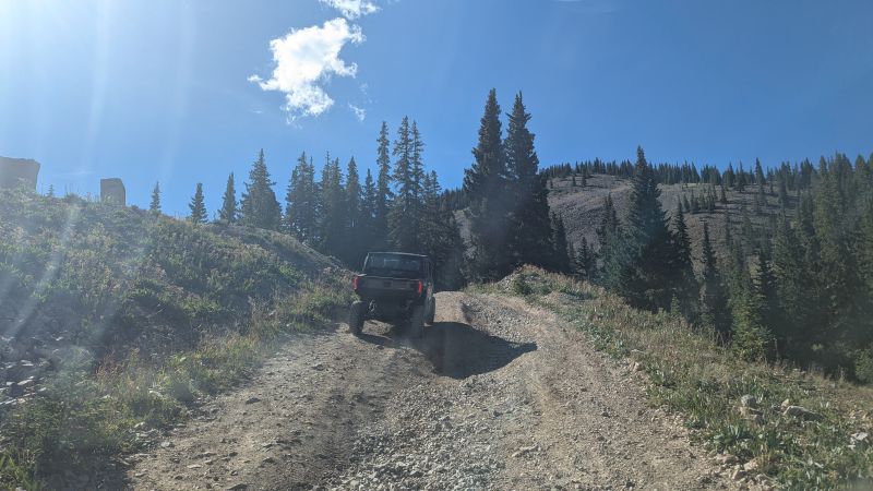
The dirt road system up here isn’t a single road so much as a network of old mining and access roads, many of them dating back over a century to when this entire area was crawling with prospectors and haulage traffic supporting the mines. It’s a genuinely fascinating overlay: modern recreational tourism riding on top of infrastructure built purely for industrial extraction more than a hundred years ago.
The GoPro Situation
We’d planned to capture the entire drive on video and had originally hoped for a full-length recording of the tour. Unfortunately, the GoPro kept overheating in the direct sun and repeatedly shut itself off along the route, so we ended up with a partial record rather than the whole thing. It’s still enough footage to get a real sense of the terrain, the views, and the scale of the climb — we’re sharing about 75 minutes of it — but if you’re planning to film your own tour on a hot, sunny day, it’s worth thinking through how you’ll manage heat on your camera setup, whether that’s a cooling mount, shade, or just accepting some gaps in the footage.
Is It Worth Booking a Leadville UTV tour?
Absolutely, and for a wider range of travelers than you might expect. You don’t need any off-road experience of your own — the guides handle the technical driving decisions and the route knowledge, and you just need to be comfortable riding along a rocky, exposed mountain road at high altitude. If you’re prone to motion sickness on bumpy terrain, it’s worth considering who in your group drives versus rides, since the driver tends to fare better than the passenger on the rougher stretches.
The Video
A few practical notes if you’re planning your own trip:
- Check in early if you can. Being first in line meant we were essentially right behind our guide the entire tour, with the best sightlines and least dust from other vehicles ahead of us.
- Dress in layers. You start in town at over 10,000 feet and climb toward 13,000-plus; temperatures swing noticeably as you gain elevation, especially with wind exposure near the summit.
- Let someone else drive if you want to actually take in the scenery. There’s a lot to look at, and someone has to keep their eyes on the road the whole time.
- Pair it with the museums, not instead of them. Seeing the mining infrastructure out on the mountain hits differently after you’ve already learned the human side of that history back in town.
Of all the activities we packed into our long weekend, this was the one that felt most distinctly “Leadville” — history, altitude, and genuine adventure, all rolled into a single morning. It was our favorite activity of the weekend!
More from this weekend: